")
")
")
Northern Greece Antique Map 1840
€39.95
Antique map from the early Victorian period of Northern Greece. The map dates from 1840 and was drawn and engraved by J Dower, Pentonville, London.
1 in stock
Very rare, antique map from the early Victorian period of Northern Greece. The map dates from 1840 and was drawn and engraved by J Dower, Pentonville, London.
John Dower was a geographical engraver and draughtsman active at the time and was listed as a fellow for The Royal Geographical Society.
The map is 5 by 8 inches, with the overall paper size of 6 by 9 inches. The map is in good condition for age, paper will have toning and markings, map area quite clean some light spots of foxing.
The map was published as part of a larger work on Greece by Chistopher Wordsworth a fellow of Trinity College in Cambridge. The work was compiled in 1839 and published in 1840 and are a rare group of maps and engravings.
Additional information
You Might Also Like
-
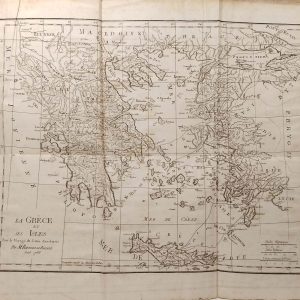
La Grece et ses Isles Antique Map 1790
€99.00 Add to cart -
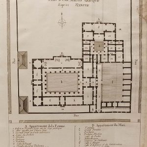
Plan Maison Grecque 1790
€25.00 Add to cart -
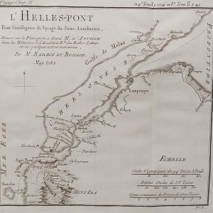
L’Hellespont Ancient Greece Map 1790
€39.00 Add to cart -
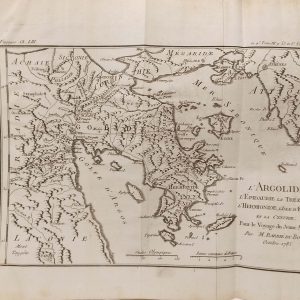
L’Argolide Ancient Greece Map 1790
€59.00 Add to cart -
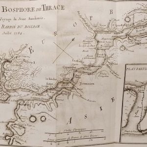
Plan du Bosphore de Thrace Map 1790
€69.00 Add to cart -
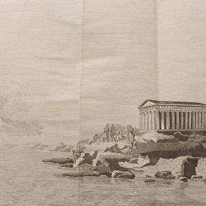
Platon sur le cap Sunium 1790
€29.00 In your cart -
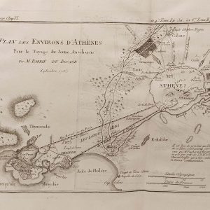
Plan des Environs d’Athenes 1790
€59.00 Add to cart -
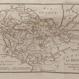
Attique La Beoite Ancient Greece Map 1790
€59.00 Add to cart -
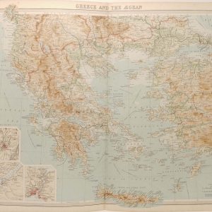
Greece and the Aegean Antique Map 1922
€39.95 Add to cart -
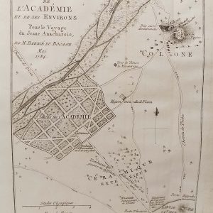
Plan de L’Academie (Athens) 1790
€39.00 Add to cart