


Attique La Beoite Ancient Greece Map 1790
€59.00
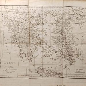
Antique Map published in Paris in 1790, dated 1787. The map is of Attique La Béoite. It is plate No 14 from the set.
1 in stock
Antique Map published in Paris in 1790, dated 1787. The map is of Attique La Béoite. It is plate No 14 from the set.
The map itself was published as part of Recueil de cartes géographiques , plans, vues et médailles de L’Ancienne Grece, Relatifs au Voyage du jeune Anacharsis; Précédé d’une Analyse Critique des Cartes. The work was published by Barbie du Bocage, Parisian bookseller who did publications for Monsieur Frére du Roi ( the Kings Brother). They where also cartographers and cosmographers in the 18th and 19th century.
The overall size is 11 by 9 1/2 inches, with the map area being 6 by 10 inches inches.
The map is in good conditions for age, paper will show age and marks. Map has been folded over the centuries and fold lines are present.
Additional information
| Weight | 0.1 kg |
|---|
You Might Also Like
-
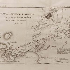
Plan des Environs d’Athenes 1790
€59.00 Add to cart -
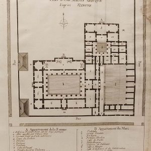
Plan Maison Grecque 1790
€25.00 Add to cart -
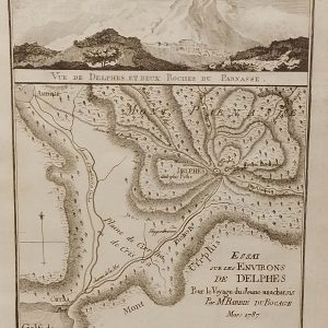
Environs de Delphes Greece Map 1790
€35.00 Add to cart -
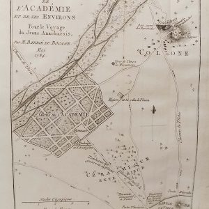
Plan de L’Academie (Athens) 1790
€39.00 Add to cart -
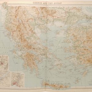
Greece and the Aegean Antique Map 1922
€39.95 Add to cart -
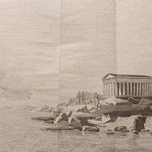
Platon sur le cap Sunium 1790
€29.00 Add to cart -
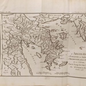
L’Argolide Ancient Greece Map 1790
€59.00 Add to cart -
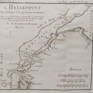
L’Hellespont Ancient Greece Map 1790
€39.00 Add to cart -
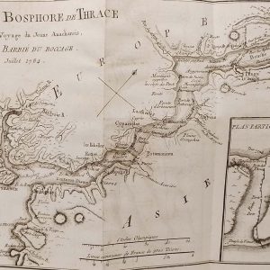
Plan du Bosphore de Thrace Map 1790
€69.00 Add to cart -
La Grece et ses Isles Antique Map 1790
€99.00 Add to cart