

Plan du Bosphore de Thrace Map 1790
€69.00
Antique Map published in Paris in 1790, dated 1785. The map is titled Plan du Bosphore de Thrace. It is plate No 2 from the set. Plan of Bysance in the right corner.
1 in stock
Antique Map published in Paris in 1790, dated 1785. The map is titled Plan du Bosphore de Thrace. It is plate No 2 from the set. Plan of Bysance in the right corner.
The map itself was published as part of Recueil de cartes géographiques , plans, vues et médailles de L’Ancienne Grece, Relatifs au Voyage du jeune Anacharsis; Précédé d’une Analyse Critique des Cartes. The work was published by Barbie du Bocage, Parisian bookseller who did publications for Monsieur Frére du Roi ( the Kings Brother). They where also cartographers and cosmographers in the 18th and 19th century.
The overall size is 13 by 9 1/2 inches, with the map area being 7 1/2 by 11 1/2 inches.
The map is in good conditions for age, paper will show age and marks. Map has been folded over the centuries and fold lines are present.
Additional information
| Weight | 0.1 kg |
|---|
You Might Also Like
-
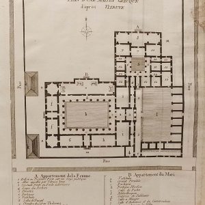
Plan Maison Grecque 1790
€25.00 Add to cart -
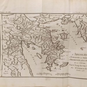
L’Argolide Ancient Greece Map 1790
€59.00 Add to cart -
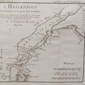
L’Hellespont Ancient Greece Map 1790
€39.00 Add to cart -
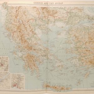
Greece and the Aegean Antique Map 1922
€39.95 Add to cart -
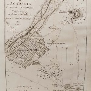
Plan de L’Academie (Athens) 1790
€39.00 Add to cart -
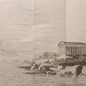
Platon sur le cap Sunium 1790
€29.00 Add to cart -
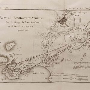
Plan des Environs d’Athenes 1790
€59.00 Add to cart -
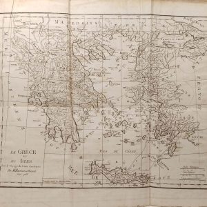
La Grece et ses Isles Antique Map 1790
€99.00 Add to cart -
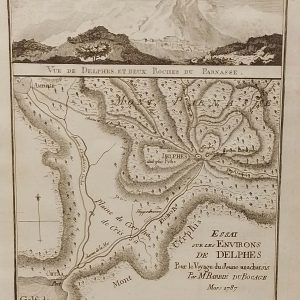
Environs de Delphes Greece Map 1790
€35.00 Add to cart -
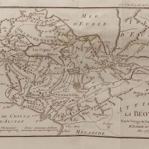
Attique La Beoite Ancient Greece Map 1790
€59.00 Add to cart