")
")
")
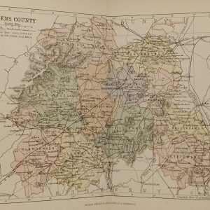
1884 Antique Colour Map of The County of Laois
€39.00
1884 Antique Colour Map of The County of Laois printed by George Philips, with the map constructed by John Bartholomew and edited by P. W. Joyce.
SOLD E-mail us if you would like to be notified if it becomes available again.
Antique colour map of the County of Laois, titled Queen’s County on map, printed in 1884.
The map has been printed on paper and was released as a fold out map.
It was printed in 1881 by George Philips in London with the map constructed by John Bartholomew and edited by P. W. Joyce.
Condition wise the map is in very good condition for it’s age, it is a fold out map so fold lines are present, paper will show ageing, please see pictures.
The map is 8 by 6 inches. These maps have paper spines at the back which should be left intact when framing.
Additional information
| Weight | 0.2 kg |
|---|
You Might Also Like
-
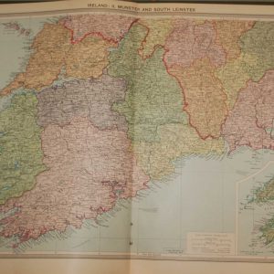
1930 Map Munster & South Leinster
€39.95 In your cart -
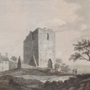
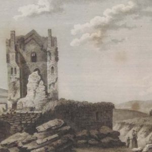
1797 Antique Print Balloghmore Castle County Laois
€25.00 Add to cart -
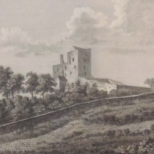
1797 Antique Print Shean Castle County Laois
€25.00 Add to cart -
1881 Antique Colour Map of The County of Laois
€39.00 Add to cart -
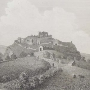
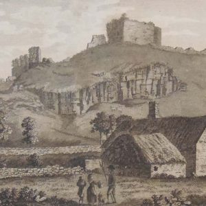
Dunamase Castle Laois 1797 Plate 3
€25.00 Add to cart -
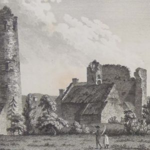
Round Tower and Castle Timahoe Laois
€25.00 Add to cart -
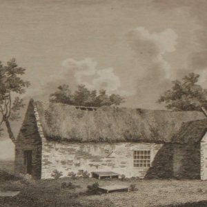
1797 Antique Print Abbey of Aghamatart Laois Ireland
€25.00 Add to cart -
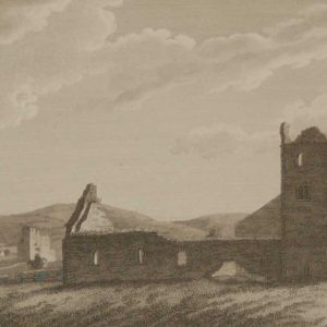
1797 Antique Print Ardglass Church County Carlow Ireland
€25.00 Add to cart -
1797 Antique Print Arrahmacart Castle County Laois
€25.00 Add to cart -
Dunamase Castle County Laois 1797 Plate 1
€25.00 Add to cart