")
")
")
1930 Map Munster & South Leinster
€39.95
Large vintage colour map from 1930 of Munster and South Leinster.
Map shows Munster counties and Wicklow, Kilkenny, Carlow, Wexford and part laois and Offaly ( King and Queens county on map) in Leinster. Separate small map bottom right showing Dingle bay & Valentia.
1 in stock
Large vintage colour map from 1930 of Munster and South Leinster.
Map shows Munster counties and Wicklow, Kilkenny, Carlow, Wexford and part laois and Offaly ( King and Queens county on map) in Leinster. Separate small map bottom right showing Dingle bay & Valentia.
The map was edited by George Philips and printed by his firm in 1930 as part of a larger atlas in conjunction with the London Geographical Institute.
The map is large 51 cm’s by 40 cm’s and is suitable for framing. Condition wise, map is in very good condition, exceptionally clean for age and intact, paper will show signs of ageing, map was released as a fold out map. Map has a spine on the back which needs to be kept intact when framing.
Additional information
| Weight | 0.2 kg |
|---|
You Might Also Like
-
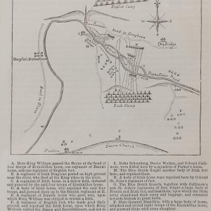
Plan Battle of the Boyne
€89.00 Add to cart -
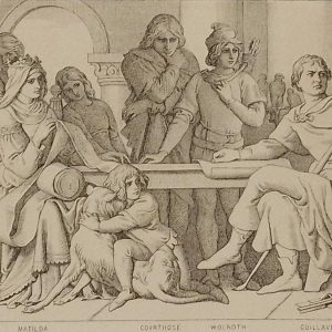
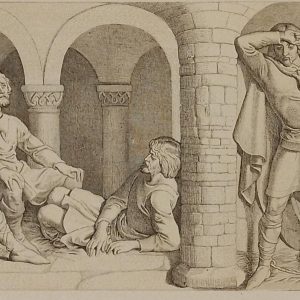
Harolds Captivity Announced Daniel Maclise 1866
€49.00 Add to cart -
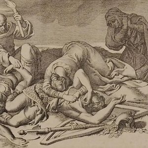
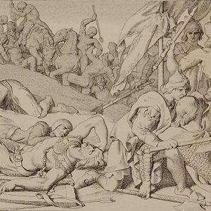
The Night After the Battle Daniel Maclise 1866
€49.00 Add to cart -
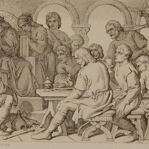
William Confers Upon Harold Daniel Maclise 1866
€49.00 Add to cart -
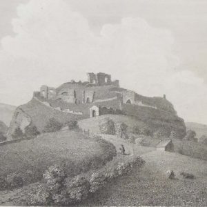
Dunamase Castle Laois 1797 Plate 3
€25.00 Add to cart -
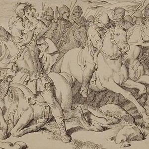
Morning of the battle Daniel Maclise 1866
€39.00 Add to cart -
Harold in front of the standard of England 1866
€49.00 Add to cart -
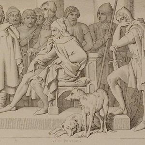
Guy of Ponthieu Daniel Maclise 1866
€49.00 Add to cart -
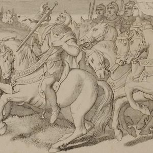
Harold and the Saxons Daniel Maclise 1866
€49.00 Add to cart -
The Normans Retreating Daniel Maclise 1866
€39.00 Add to cart