")
")
1881 Antique Colour Map of The County of Kerry
€39.00
1881 Antique Colour Map of The County of Kerry printed by George Philips, with the map constructed by John Bartholomew and edited by P. W. Joyce.
1 in stock
Antique colour map of the County of Kerry, printed in 1881.
The map has been printed on paper and was released as a fold out map.
It was printed in 1881 by George Philips in London with the map constructed by John Bartholomew and edited by P. W. Joyce.
Condition wise the map is in very good condition for it’s age, it is a fold out map so fold lines are present, paper will have age related toning , please see pictures.
The map is 8 by 6 inches.
Additional information
| Weight | 0.2 kg |
|---|
You Might Also Like
-
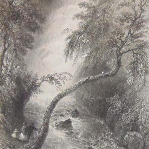
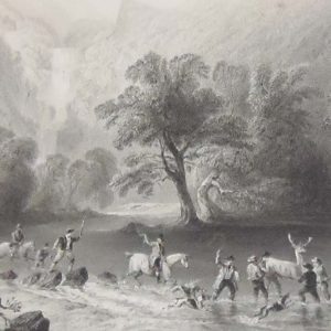
Turk Cascade Kerry 1841 Antique Print
€25.00 Add to cart -
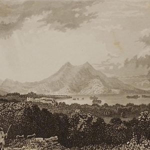
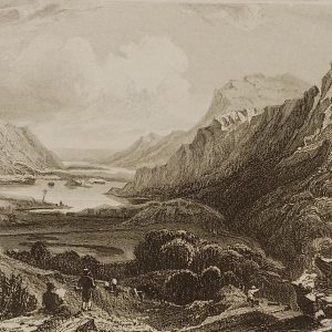
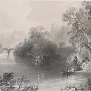
Lower Lake of Killarney 1832
€25.00 Add to cart -
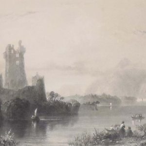
Rofs Castle Killarney 1841
€25.00 Add to cart -
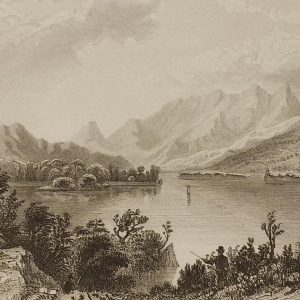
Upper Lake Killarney 1832
€25.00 Add to cart -
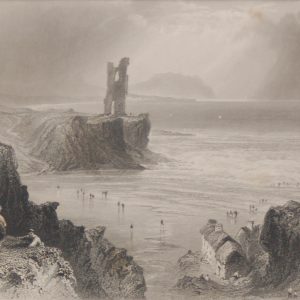
Ballybunion 1841 Antique Print
€35.00 Add to cart -
Upper Lake Killarney from the Kenmare Road 1832
€25.00 Add to cart -
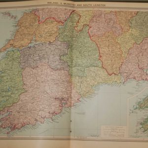
1930 Map Munster & South Leinster
€39.95 In your cart -
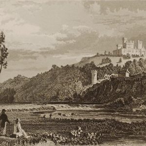
Coltsman’s Castle County Kerry
€25.00 Add to cart -
Old Weir Bridge Killarney 1841
€25.00 Add to cart -
Derrycunnihy Cascade Kerry 1841
€25.00 Add to cart