")
")
")
Antique Map Ireland 1905
€79.00
Antique map of Ireland published in 1905. The map was originally published by W & A K Johnson in Edinburgh as part of the World Wide Atlas.
SOLD E-mail us if you would like to be notified if it becomes available again.
Add to Wishlist
Add to Wishlist
Antique map of Ireland published in 1905.
The map was originally published by W & A K Johnson in Edinburgh as part of the World Wide Atlas.
The map is mounted and framed, frame is vintage, later than the maps.
The map is in very good condition, paper shows ageing, tear at margin ( no paper loss) at Ballinaskellig, not affecting map and small spots of foxing.
The maps are 10 by 8 inches with the overall outer dimensions including frame being 14 3/4 by 17 inches.
Additional information
| Weight | 2 kg |
|---|
You Might Also Like
-
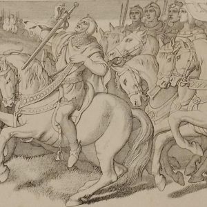
Harold in front of the standard of England 1866
€49.00 Add to cart -
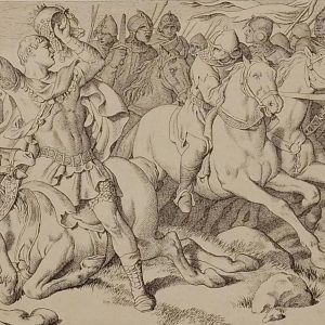
Morning of the battle Daniel Maclise 1866
€39.00 Add to cart -
The Normans Retreating Daniel Maclise 1866
€39.00 Add to cart -
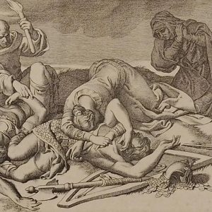
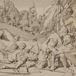
The Night After the Battle Daniel Maclise 1866
€49.00 Add to cart -
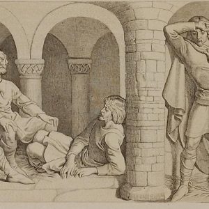
Harold and the Saxons Daniel Maclise 1866
€49.00 Add to cart -
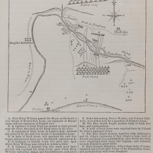
Plan Battle of the Boyne
€89.00 In your cart -

William Confers Upon Harold Daniel Maclise 1866
€49.00 Add to cart -
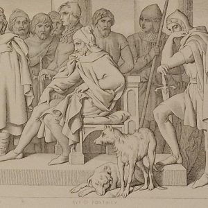
Guy of Ponthieu Daniel Maclise 1866
€49.00 Add to cart -
Harolds Captivity Announced Daniel Maclise 1866
€49.00 Add to cart -
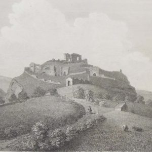
Dunamase Castle Laois 1797 Plate 3
€25.00 Add to cart