")
")
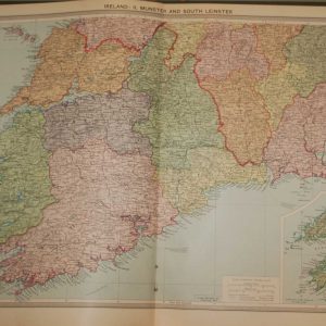
1890 Antique Colour Map of The County of Tipperary
€39.00
Antique colour map of the County of Tipperary, printed in the 1890’s.
1 in stock
Antique colour map of the County of Tipperary, printed in the 1890’s.
The map has been printed on paper and was released as a fold out map.
It was printed in 1890’s by George Philips in London with the map constructed by John Bartholomew and edited by P. W. Joyce.
Condition wise the map is in very good condition for it’s age, it is a fold out map so fold lines are present, paper will have age related toning, paper split on fold line to start map both sides , please see pictures.
The map is 8 by 6 inches.
Additional information
| Weight | 0.2 kg |
|---|
You Might Also Like
-
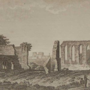
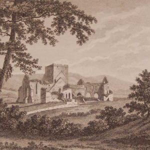
1797 Antique Print Franciscan Abbey Cashel Tipperary
€25.00 Add to cart -
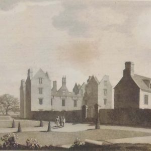
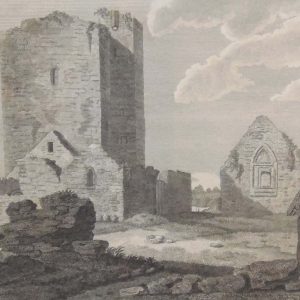
Burncourt County Tipperary 1797
€49.95 Add to cart -
1930 Map Munster & South Leinster
€39.95 Add to cart -
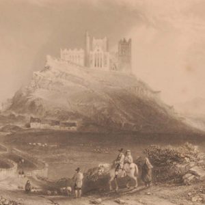
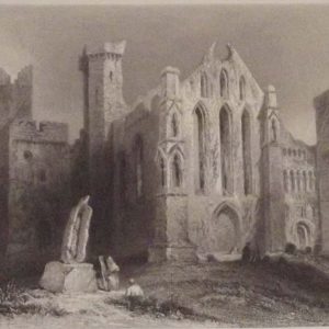
Approach to Cashel 1841 Antique print
€35.00 Add to cart -
Cashel County Tipperary Set of 5 Antique Prints
€124.95 Add to cart -
Church & Abbeys Tipperary 1797
€75.00 Add to cart -
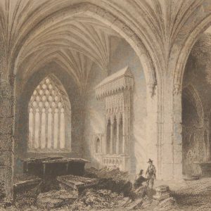
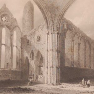
Interior Holy Cross Abbey 1841 Antique Print
€35.00 Add to cart -
Interior Holy Cross Abbey 1841 Antique Print
€25.00 Add to cart -
Black or Whare Abbey County Tipperary 1797 Antique Print
€25.00 Add to cart -
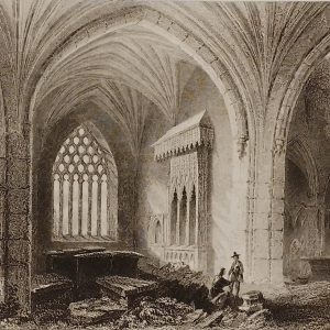
Interior of Cashel Abbey 1841 Antique print
€35.00 Add to cart