")
1887 Antique Map Province of Schlesien
€35.00
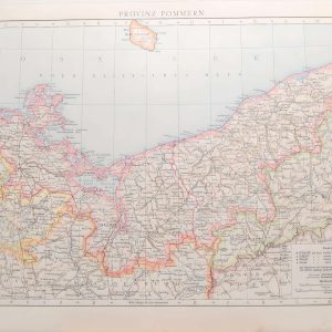
Antique map of the Province of Silesia, titled on map Provinz Schlesien, which was a province of Prussia from 1815 to 1919. Smaller map on the bottom of Oberschlesisches.
1 in stock
Antique map of the Province of Silesia, titled on map Provinz Schlesien, which was a province of Prussia from 1815 to 1919. Smaller map on the bottom of Oberschlesisches.
The map was originally published in 1887 as part of Andrees Allgemeiner Handatlas by Verlag von Velhagan and Klasing in Leipzig in Germany. The atlas was named after Richard Andre and was known for the quality of the maps and the printing technique they used, chromolithography. The 1887 edition was the 2nd release of the atlas.
The maps is printed on card and is 42 by 27 cm’s with good margins for framing, there is a partial map on the reverse.
Map is in good condition for age, markings on paper, water mark top left, please see pictures.
Additional information
| Weight | 0.25 kg |
|---|
You Might Also Like
-
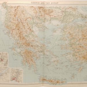
Greece and the Aegean Antique Map 1922
€39.95 Add to cart -
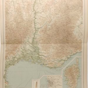
France South Eastern Section Antique Map 1922
€29.95 Add to cart -
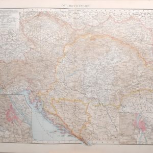
1887 Antique Map Austria Hungary
€45.00 Add to cart -
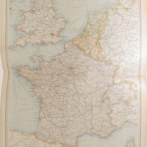
France Belgium and Holland Antique Map 1922
€39.95 Add to cart -
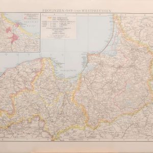
1887 Antique Map Province of West Prussia
€35.00 Add to cart -
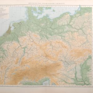
1887 Antique Map Germany Physical Overview
€45.00 Add to cart -
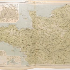
France North Western Section Antique Map 1922
€29.95 Add to cart -
1887 Antique Map Provinz Pommern
€35.00 Add to cart -
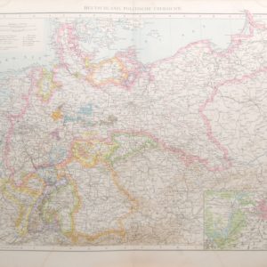
1887 Antique Map Germany Political Overview
€45.00 Add to cart -
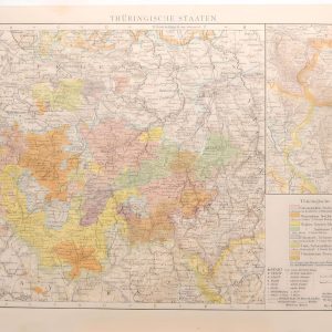
1887 Antique Map Thuringian States
€35.00 Add to cart