")
")
")
")
1850 Antique Colour Map of Sligo and Roscommon
€35.00
Antique colour Map of Sligo and Roscommon, the map was engraved by A Adlard and published by Hall and Virtue in London. These maps are referenced as being produced between 1846 and 1850.
1 in stock
Antique colour Map of Sligo and Roscommon, the map was engraved by A Adlard and published by Hall and Virtue in London. These maps are referenced as being produced between 1846 and 1850.
The map has a scale reference both in Irish and English miles, it also references the population and the English acreage within the county.
The map is in very good condition for it’s age, very light ageing to the paper, please see pictures.
The overall paper size is 9 1/2 by 6 1/2 inches with the map area 8 by 5 1/2 inches.
Additional information
You Might Also Like
-
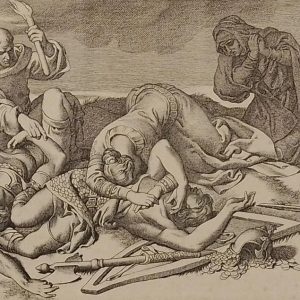
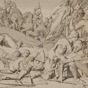
The Night After the Battle Daniel Maclise 1866
€49.00 Add to cart -
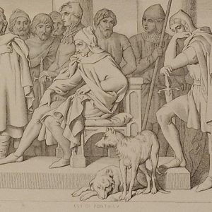
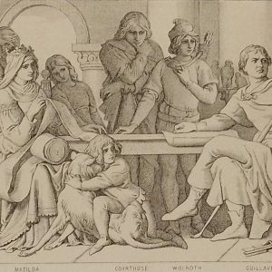
Guy of Ponthieu Daniel Maclise 1866
€49.00 Add to cart -
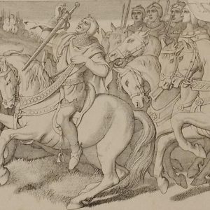
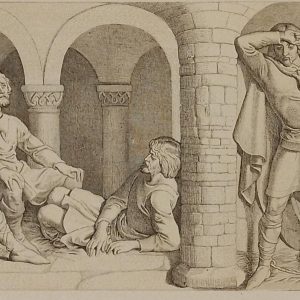
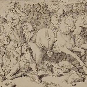
Morning of the battle Daniel Maclise 1866
€39.00 Add to cart -
William Confers Upon Harold Daniel Maclise 1866
€49.00 Add to cart -
Harold in front of the standard of England 1866
€49.00 Add to cart -
Harold and the Saxons Daniel Maclise 1866
€49.00 Add to cart -
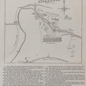
Plan Battle of the Boyne
€89.00 In your cart -
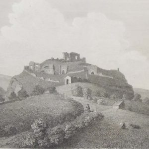
Dunamase Castle Laois 1797 Plate 3
€25.00 Add to cart -
Harolds Captivity Announced Daniel Maclise 1866
€49.00 Add to cart -
The Normans Retreating Daniel Maclise 1866
€39.00 Add to cart