")
")
")
Chart of the Three Harbours of Botany Bay 1818
€149.00
1818 copper engraving titled A chart of the three Harbours of Botany Bay, Port Jackson, & Brocken Bay, showing the ground cultivated by the colonists with the courses of the river Hawkesbury.
1 in stock
1818 copper engraving titled A chart of the three Harbours of Botany Bay, Port Jackson, & Brocken Bay, showing the ground cultivated by the colonists with the courses of the river Hawkesbury.
The print was originally released as part of the Collection of the most celebrated Voyages & Travels from the Discovery of America by R P Forster Esq.
It was published in 1818 in Newcastle upon Tyne, England by Mackenzie and Dent.
The plan measures 5 by 8 inches.
The plan is in good overall condition for it’s age, paper shows ageing and small amount of foxing. Paper turn at top right outside of map border. Bottom of paper his bumped, some small paper tears below border, bottom left turn and paper tear to start of map. Please see pictures.
Additional information
| Weight | 0.1 kg |
|---|
You Might Also Like
-
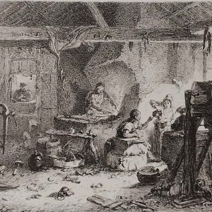
The Village Forge Etching 1864
€129.00 Add to cart -
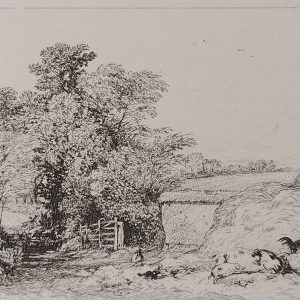
Barn Yard Leicestershire Etching Robert Brandard
€129.00 Add to cart -
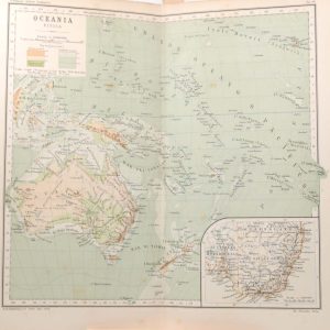
Antique Map Oceania Physical circa 1900
€39.00 Add to cart -
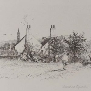
Labourers Return Etching Robert Brandard
€129.00 Add to cart -

Night Scene in the Neighbourhood of Sydney 1818
€99.00 Add to cart -

The Barn Door Etching Robert Brandard
€129.00 Add to cart -

Lane Near Herne Bay Etching Robert Brandard
€129.00 Add to cart -
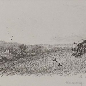
Harrowing Etching Robert Brandard 1864
€99.00 Add to cart -
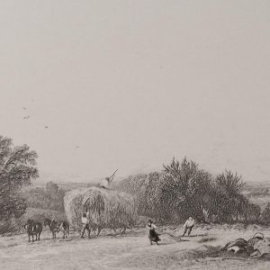
The Hayfield Etching Robert Brandard
€129.00 Add to cart -
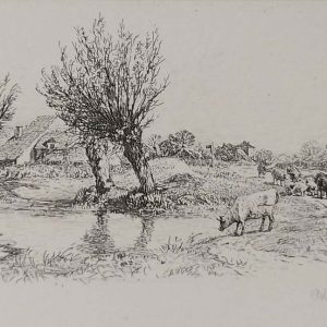
Pollard Willows Etching Robert Brandard 1864
€99.00 Add to cart