")
")
Antique Map Palestine 1905
€39.00
Antique Map Palestine 1905 . The map was originally published by W & A K Johnson in Edinburgh as part of the World Wide Atlas.
SOLD E-mail us if you would like to be notified if it becomes available again.
Add to Wishlist
Add to Wishlist
Antique map of Palestine published in 1905, showing Judea, Samaria, Galilee and other areas. There is a map of the Red Sea on the reverse.
The map was originally published by W & A K Johnson in Edinburgh as part of the World Wide Atlas.
The map is in very good condition, paper shows ageing and bumping at edges.
The maps are 10 by 8 inches with the overall paper dimensions being 10 by 12 inches.
Additional information
| Weight | 0.1 kg |
|---|
You Might Also Like
-
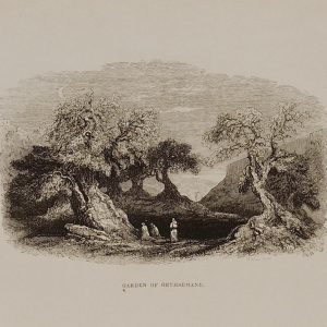
1844 Garden of Gethsemane
€29.00 Add to cart -
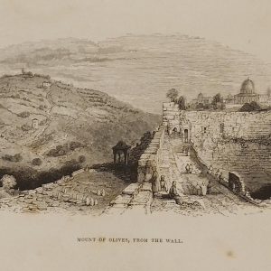
1844 Mount of Olives from the Wall
€39.00 Add to cart -
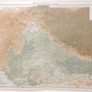
India North Western Section Antique Map 1922
€39.95 Add to cart -
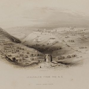
1844 Jerusalem from the North East
€39.00 Add to cart -
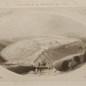
1844 Jerusalem as besieged by Titus
€69.00 Add to cart -
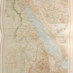
Egypt and the Nile Antique Map 1922
€39.95 Add to cart -
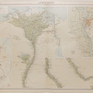
Lower Egypt Antique Map 1922
€39.95 Add to cart -
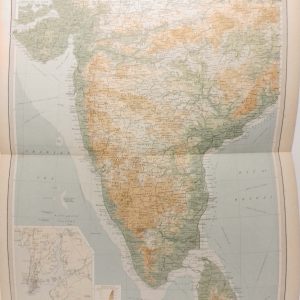
India Southern Section Antique Map 1922
€39.95 Add to cart -
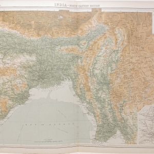
India North Eastern Section Antique Map 1922
€39.95 Add to cart -
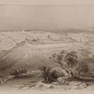
1844 Jerusalem from the Mount of Olives
€69.00 Add to cart