")
")
Antique Map Central Europe circa 1900
€39.00
Antique colour map of Central Europe.
The map was originally printed in Italy and is titled Europa Centrale Carta Fiscia.
- You cannot add "1854 steel engraving John Russell, 4th Duke of Bedford" to the basket because the product is out of stock.
1 in stock
Antique colour map of Central Europe.
The map was originally printed in Italy and is titled Europa Centrale Carta Fiscia.
It was printed in Italy by Ditta G B Paravia E Comp. Map dates from the early 1900’s, original owners notes for the full set referencing 1901 to 1904.
Condition wise the map is in very good condition for it’s age, it is a fold out map so fold lines are present, some paper separation at folds, one small tear border area, map will have age related toning to paper.
The map is large 12 by 24 inches in total with a good border for framing. These type of maps have a spine at the back which should be kept on when framing.
Additional information
| Weight | 0.2 kg |
|---|
You Might Also Like
-

Piazza Colonnal Rome Antique Print 1830
€25.00 Add to cart -
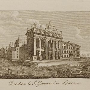
Basilica di S. Giovanni in Laterano
€19.95 Add to cart -
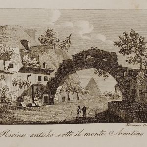
Rovine Antiche sotto il Monte Aventino 1830
€29.95 Add to cart -

Piazza di S Giovanni in Laterano Antique Print 1830
€19.95 Add to cart -

Tempo di Romolo Rome Antique Print 1830
€25.00 Add to cart -

Porto Maggiore Rome Antique Print 1830
€25.00 Add to cart -
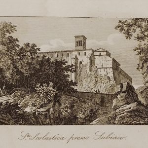
Scolastica Presso Subiaco Antique Print 1830
€15.00 Add to cart -
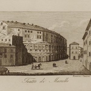
Teatro di Marcello Rome 1830
€29.95 Add to cart -

Tempio di Antonio e Faustina Antique Print 1830
€25.00 Add to cart -
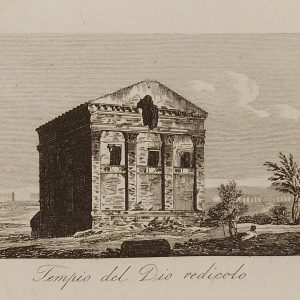
Tempio del Dio Redicolo Antique Print 1830
€19.95 Add to cart