")
")
")
")
Antique Map 1851 Eygpt
€35.00
1851 antique map titled Eygptus ( Eygpt) with measurements in Roman miles and Greek Stadia,
- You cannot add "1854 steel engraving John Russell, 4th Duke of Bedford" to the basket because the product is out of stock.
1 in stock
1851 antique map titled Egyptus ( Eygpt) and highlighting the Roman Empire. The map shows measurements in both Roman miles and Greek stadia.
The maps where orginally done by Samuel Butler a Lord Bishop of Lichfield as part of a larger atlas on the ancient world. This edition was edited by his son with the map engraved by S Hall.
The map is a fold out map with centre line, in good condition for it’s age some ageing and foxing to paper, very good for its age, please see pictures. The paper size is 11 by 9 inches with the map 9 3/4 inches by 7 1/2 inches.
These maps are suitable for framing, maps where released with a backing to the centre spine, do not remove when framing as they are part of the maps construction.
Additional information
| Weight | 0.15 kg |
|---|
You Might Also Like
-
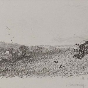
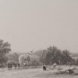
Harrowing Etching Robert Brandard 1864
€99.00 Add to cart -

Lane Near Herne Bay Etching Robert Brandard
€129.00 Add to cart -

Pollard Willows Etching Robert Brandard 1864
€99.00 Add to cart -

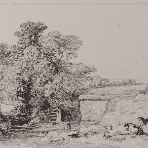
The Barn Door Etching Robert Brandard
€129.00 Add to cart -
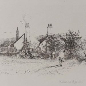
Labourers Return Etching Robert Brandard
€129.00 Add to cart -
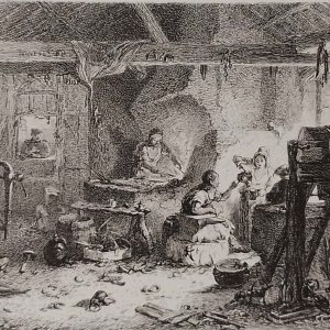
The Village Forge Etching 1864
€129.00 Add to cart -
Barn Yard Leicestershire Etching Robert Brandard
€129.00 Add to cart -
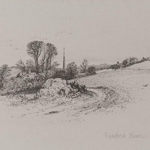
Eynsford Kent Etching Robert Brandard 1864
€99.00 Add to cart -
The Hayfield Etching Robert Brandard
€129.00 Add to cart -

Lane Near Southend Etching Robert Brandard
€129.00 Add to cart