")
")
")
")
Antique Map 1851 Eygpt
€35.00
1851 antique map titled Eygptus ( Eygpt) with measurements in Roman miles and Greek Stadia,
1 in stock
1851 antique map titled Egyptus ( Eygpt) and highlighting the Roman Empire. The map shows measurements in both Roman miles and Greek stadia.
The maps where orginally done by Samuel Butler a Lord Bishop of Lichfield as part of a larger atlas on the ancient world. This edition was edited by his son with the map engraved by S Hall.
The map is a fold out map with centre line, in good condition for it’s age some ageing and foxing to paper, very good for its age, please see pictures. The paper size is 11 by 9 inches with the map 9 3/4 inches by 7 1/2 inches.
These maps are suitable for framing, maps where released with a backing to the centre spine, do not remove when framing as they are part of the maps construction.
Additional information
| Weight | 0.15 kg |
|---|
You Might Also Like
-
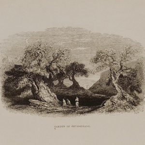
1844 Garden of Gethsemane
€29.00 Add to cart -
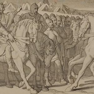
Harolds interview with Tostig Daniel Maclise 1866
€49.00 Add to cart -
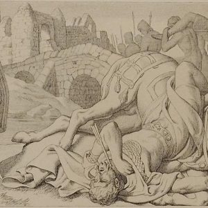
Harold Conqueror at Stamford Daniel Maclise 1866
€49.00 Add to cart -
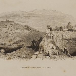
1844 Mount of Olives from the Wall
€39.00 Add to cart -
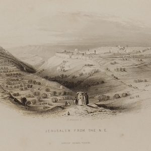
1844 Jerusalem from the North East
€39.00 Add to cart -
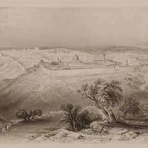
1844 Jerusalem from the Mount of Olives
€69.00 Add to cart -

Lane Near Southend Etching Robert Brandard
€129.00 Add to cart -
Death of Tostig Daniel Maclise 1866
€49.00 Add to cart -
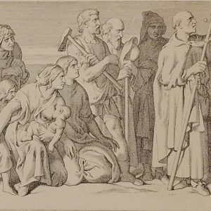
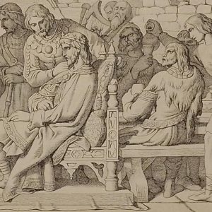
The Monk of Malmesbury Daniel Maclise 1866
€49.00 Add to cart -
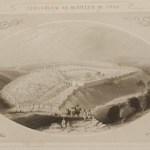
1844 Jerusalem as besieged by Titus
€69.00 Add to cart
