")
")
Antique Colour Map The County of Cork
€39.00
Antique Colour Map of The County of Cork printed by George Philips, with the map constructed by John Bartholomew and edited by P. W. Joyce.
SOLD E-mail us if you would like to be notified if it becomes available again.
Add to Wishlist
Add to Wishlist
Antique colour map of the County of Cork, printed in the 1890’s.
The map has been printed on paper and was released as a fold out map.
It was printed by George Philips in London with the map constructed by John Bartholomew and edited by P. W. Joyce.
Condition wise the map is in very good condition for it’s age, it is a fold out map so fold line is present, paper will show ageing paper split at fold to map one side, please see pictures.
The map is 8 by 6 inches.
Additional information
| Weight | 0.2 kg |
|---|
You Might Also Like
-
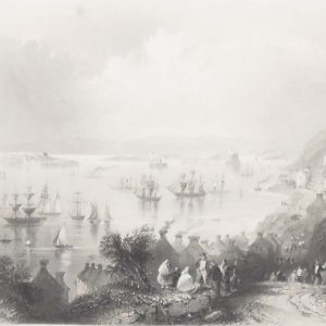
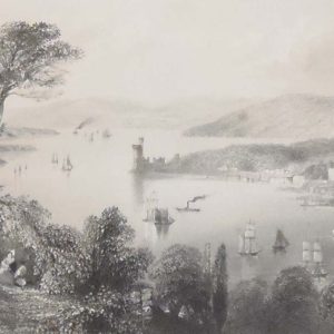
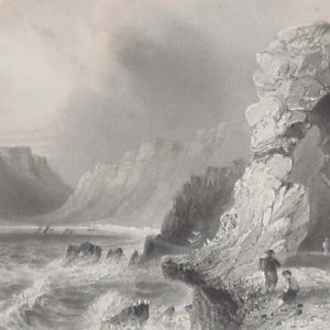
Cobh harbour 1841 Antique Print
€25.00 Add to cart -
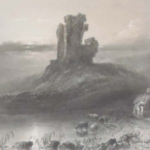
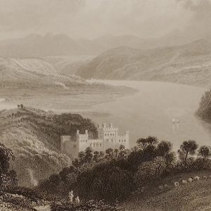
Kilcolman Castle Cork 1841 Antique Print
€25.00 Add to cart -
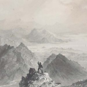
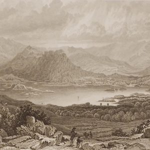
Sugarloaf Mountain 1841 Antique Print
€20.00 Add to cart -
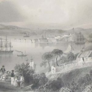
The Cove of Cork 1841
€25.00 Add to cart -
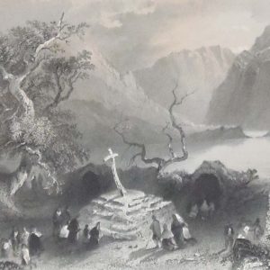
1841 Antique Engraving Scene at Gougane Barra
€25.00 Add to cart -
Cork River 1841 Antique Print
€25.00 Add to cart -
Glengariff County Cork 1832 Antique Print
€25.00 Add to cart -
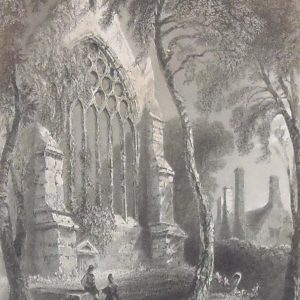
Youghal Abbey 1841 Antique Print
€25.00 Add to cart -
Glengariff 1841 Antique Print
€25.00 Add to cart -
Valley of the Blackwater 1841 Antique Print
€25.00 Add to cart