")
")
1930 Large Vintage Map Europe
€39.95
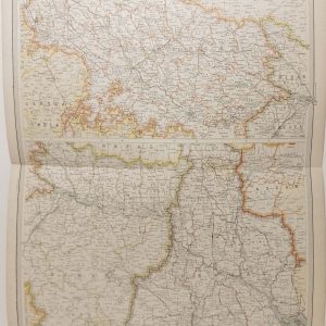
Large vintage colour map from 1930 of Europe General.
Map shows from Iceland to the USSR and parts of North Africa. Germany includes east Prussia. Ireland is listed as the Irish Free state on the map.
1 in stock
Large vintage colour map from 1930 of Europe General.
Map shows from Iceland to the USSR and parts of North Africa. Germany includes east Prussia. Ireland is listed as the Irish Free state on the map.
The map was edited by George Philips and printed by his firm in 1930 as part of a larger atlas in conjunction with the London Geographical Institute.
The map is large 51 cm’s by 40 cm’s and is suitable for framing. Condition wise, map is in very good condition, exceptionally clean for age and intact, paper will show signs of ageing small amounts foxing, map was released as a fold out map. Map has a spine on the back which needs to be kept intact when framing.
Additional information
| Weight | 0.2 kg |
|---|
You Might Also Like
-
Provinces of the Lower Ganges 1922 Map
€39.95 Add to cart -
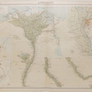
Lower Egypt Antique Map 1922
€39.95 Add to cart -
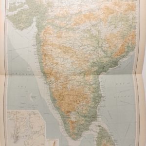
India Southern Section Antique Map 1922
€39.95 Add to cart -
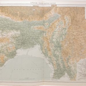
India North Eastern Section Antique Map 1922
€39.95 Add to cart -
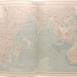
Indian Ocean Antique Map 1922
€39.95 Add to cart -
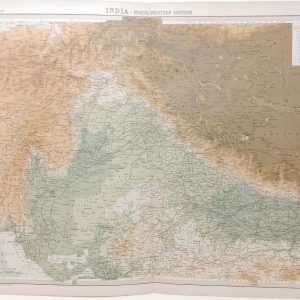
India North Western Section Antique Map 1922
€39.95 Add to cart -
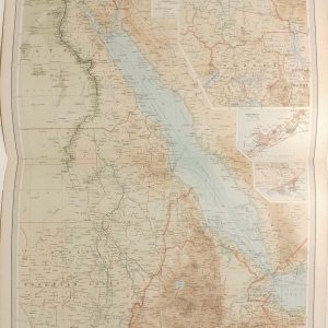
Egypt and the Nile Antique Map 1922
€39.95 Add to cart -
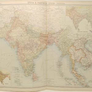
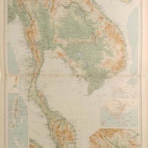
India and Farther India Antique Map 1922
€39.95 Add to cart -
Farther India Antique Map 1922
€39.95 Add to cart -
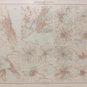
American Cities Antique Map 1922
€39.95 Add to cart