")
")
")
")
1887 Antique Map Ireland
€119.00
Antique map of Ireland title on map Irland. Provinces boundaries highlighted in colour. Interesting box on bottom right where Irish names such as Dun, Kill, Bally are listed with their German equivalents.
1 in stock
Antique map of Ireland title on map Irland. Provinces boundaries highlighted in colour. Interesting box on bottom right where Irish names such as Dun, Kill, Bally are listed with their German equivalents.
The map was originally published in 1887 as part of Andrees Allgemeiner Handatlas by Verlag von Velhagan and Klasing in Leipzig in Germany. The atlas was named after Richard Andre and was known for the quality of the maps and the printing technique they used, chromolithography. The 1887 edition was the 2nd release of the atlas.
The maps is printed on card and is 14 by 9 inches, it has been mounted and framed in a later gold frame with overall dimensions of 19 by 14 inches.
Map and frame are very good condition for age, markings on paper, please see pictures.
Additional information
| Weight | 2 kg |
|---|
You Might Also Like
-
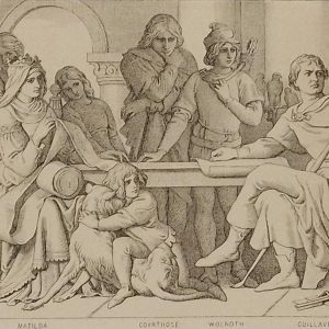
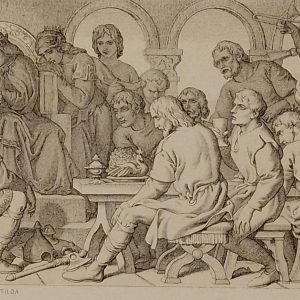
Harolds Captivity Announced Daniel Maclise 1866
€49.00 Add to cart -
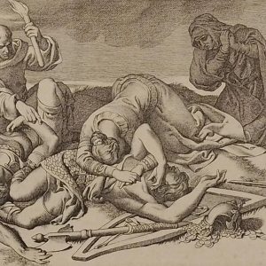
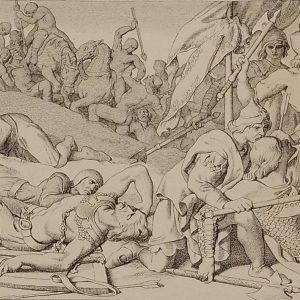
The Night After the Battle Daniel Maclise 1866
€49.00 Add to cart -
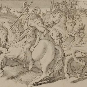
Morning of the battle Daniel Maclise 1866
€39.00 Add to cart -
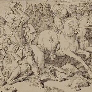
The Normans Retreating Daniel Maclise 1866
€39.00 Add to cart -
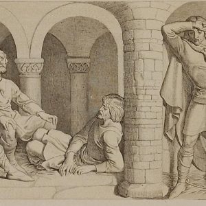
William Confers Upon Harold Daniel Maclise 1866
€49.00 Add to cart -
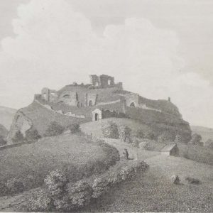
Dunamase Castle Laois 1797 Plate 3
€25.00 Add to cart -
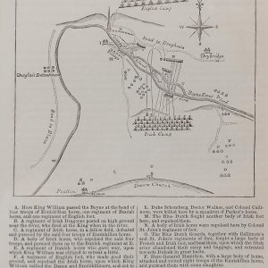
Plan Battle of the Boyne
€89.00 Add to cart -
Harold and the Saxons Daniel Maclise 1866
€49.00 Add to cart -
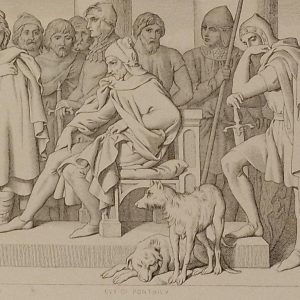
Guy of Ponthieu Daniel Maclise 1866
€49.00 Add to cart -
Harold in front of the standard of England 1866
€49.00 Add to cart