Tipperary
Antique and vintage prints from County Tipperary.
Showing all 14 results
-
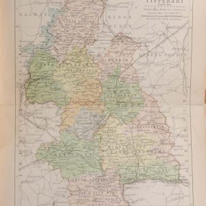
1890 Antique Colour Map of The County of Tipperary
€39.00 Add to cart -
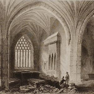
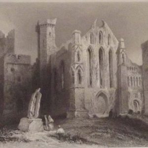
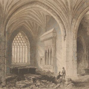
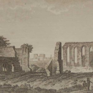
Interior Holy Cross Abbey 1841 Antique Print
€25.00 Add to cart -
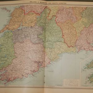
1930 Map Munster & South Leinster
€39.95 Add to cart -
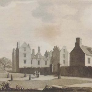
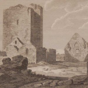
Burncourt County Tipperary 1797
€49.95 Add to cart -
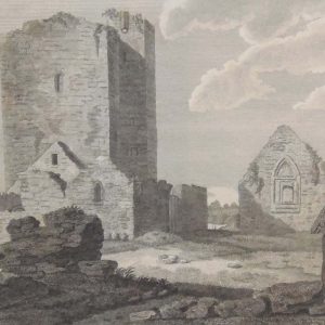
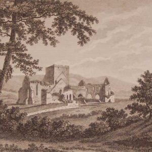
Church & Abbeys Tipperary 1797
€75.00 Add to cart -
Cashel County Tipperary Set of 5 Antique Prints
€124.95 Add to cart -
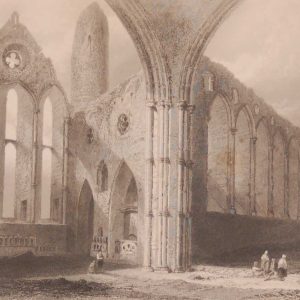
Interior of Cashel Abbey 1841 Antique print
€35.00 Add to cart -
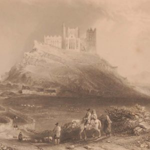
Approach to Cashel 1841 Antique print
€35.00 Add to cart -
St Mary’s Church Thurles Tipperary 1797 Antique Print
€25.00 Add to cart -
Interior Holy Cross Abbey 1841 Antique Print
€35.00 Add to cart -
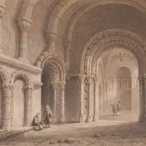
Cormacs Chapel Cashel County Tipperary 1841 Antique Print
€35.00 Add to cart -
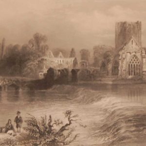
Holycross Abbey from the Suir 1841 Antique Print
€35.00 Add to cart -
Black or Whare Abbey County Tipperary 1797 Antique Print
€25.00 Add to cart -
1797 Antique Print Franciscan Abbey Cashel Tipperary
€25.00 Add to cart