")
")
")
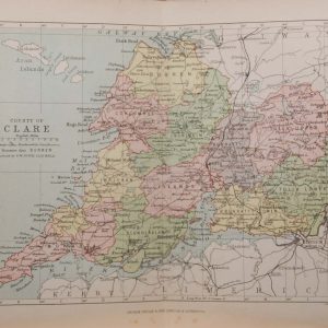
1884 Antique Colour Map of The County of Clare
€39.00
1884 Antique Colour Map of The County of Clare printed by George Philips, with the map constructed by John Bartholomew and edited by P. W. Joyce.
- You cannot add "Antique Print 1848 Hand Coloured Florence" to the basket because the product is out of stock.
SOLD E-mail us if you would like to be notified if it becomes available again.
Add to Wishlist
Add to Wishlist
Antique colour map of the County of Clare, printed in 1884.
The map has been printed on paper and was released as a fold out map.
It was printed in 1884 by George Philips in London with the map constructed by John Bartholomew and edited by P. W. Joyce.
Condition wise the map is in very good condition for it’s age, it is a fold out map so fold line is present, paper will show ageing , please see pictures.
The map is 8 by 6 inches.
Additional information
| Weight | 0.2 kg |
|---|
You Might Also Like
-
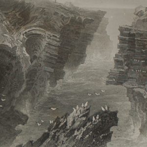
1860 Antique Engraving Puffing Hole Near Kilkee
€22.00 Add to cart -
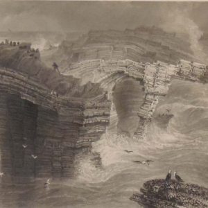
Cave in Malbay 1841 Antique Print
€25.00 Add to cart -
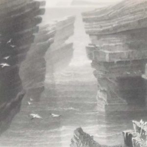
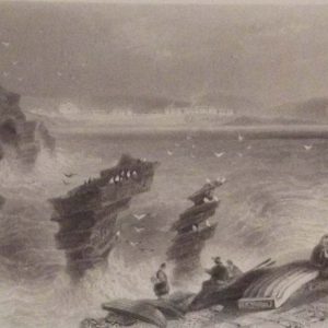
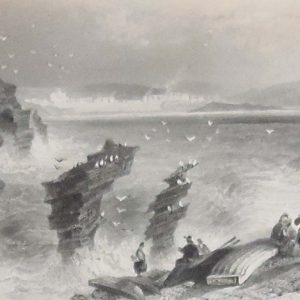
Natural Bridges near Kilkee 1841 Antique Print
€25.00 Add to cart -
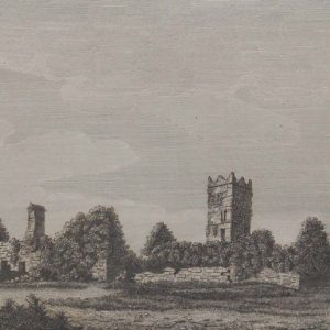
Clare Abbey 1797 Antique Print
€25.00 Add to cart -
Kilkee and Malbay Clare Antique Prints 1841
€74.95 Add to cart -
Kilkee County Clare 1841 Antique Print
€25.00 Add to cart -
Natural Bridges Kilkee circa 1845
€39.00 Add to cart -
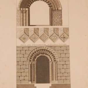
Antique Print 1797 Arches Kilcullen Kildare and Disert Clare
€25.00 Add to cart -
1881 Antique Colour Map of The County of Clare
€39.00 Add to cart -

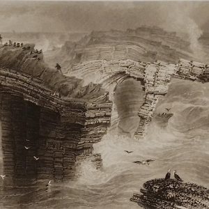
Puffin Hole Kilkee Clare 1841 Antique Print
€35.00 Add to cart