")
")
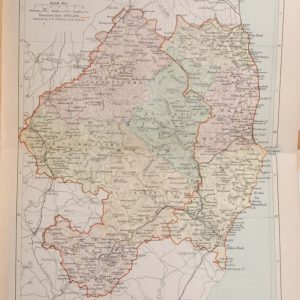
1881 Antique Colour Map of The County of Wicklow
€39.00
1881 Antique Colour Map of The County of Wicklow printed by George Philips, with the map constructed by John Bartholomew and edited by P. W. Joyce.
- You cannot add "Antique Print 1848 Hand Coloured Florence" to the basket because the product is out of stock.
1 in stock
Antique colour map of the County of Wicklow, printed in 1881.
The map has been printed on paper and was released as a fold out map.
It was printed in 1881 by George Philips in London with the map constructed by John Bartholomew and edited by P. W. Joyce.
Condition wise the map is in very good condition for it’s age, it is a fold out map so fold line is present, paper will show ageing and foxing outside map area, please see pictures.
The map is 8 by 6 inches.
Additional information
| Weight | 0.2 kg |
|---|
You Might Also Like
-
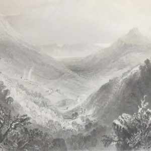
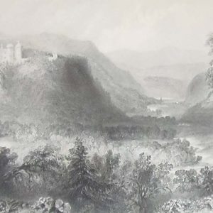
1841 Glen of the Downs Antique Print
€25.00 Add to cart -
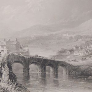
Bray County Wicklow 1841 Antique Print
€45.00 Add to cart -
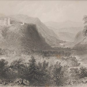
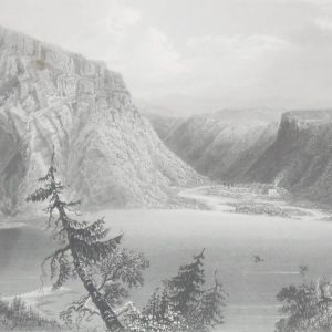
Castle Howard Vale of Avoca 1841 Antique Print
€35.00 Add to cart -
Antique Colour Map of The County of Wicklow
€39.00 Add to cart -
Castle Howard Vale of Avoca 1841 Antique Print
€25.00 Add to cart -
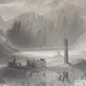
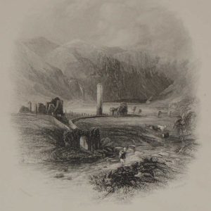
1841 Engraving Round Tower Glendalough
€25.00 Add to cart -
Luggala County Wicklow 1841 Antique Print
€25.00 Add to cart -
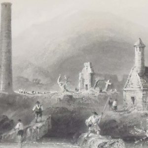
1841 Engraving Glendalough County Wicklow
€25.00 Add to cart -
Glendalough in the County Of Wicklow 1871
€16.95 Add to cart -
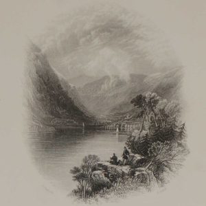
Luggala Wicklow 1871 Antique Engraving
€16.95 Add to cart