")
")
")
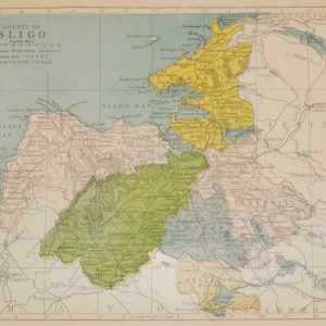
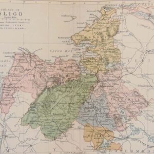
1881 Antique Colour Map of The County of Sligo
€29.00
1881 Antique Colour Map of The County of Sligo printed by George Philips, with the map constructed by John Bartholomew and edited by P. W. Joyce.
- You cannot add "1854 steel engraving John Russell, 4th Duke of Bedford" to the basket because the product is out of stock.
1 in stock
Antique colour map of the County of Sligo, printed in 1881.
The map has been printed on paper and was released as a fold out map.
It was printed in 1881 by George Philips in London with the map constructed by John Bartholomew and edited by P. W. Joyce.
Condition wise the map is in very good condition for it’s age, it is a fold out map so fold line is present, paper has separated on fold line at bottom of paper up to border area., please see pictures.
The map is 8 by 6 inches.
Additional information
| Weight | 0.2 kg |
|---|
You Might Also Like
-
Sligo Ireland 1832 Antique Print
€39.95 Add to cart -
Antique map of Belfast to Sligo 1887
€29.00 Add to cart -
County Sligo 1902 Antique Map
€35.00 Add to cart -
Hazelwood and Lough Gill Sligo 1841
€25.00 Add to cart -
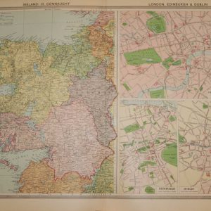
1930 Large Vintage Colour Map Connaught with town plans
€39.95 Add to cart -
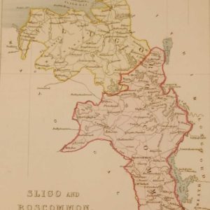
1850 Antique Colour Map of Sligo and Roscommon
€35.00 Add to cart -
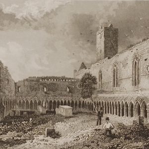
Abbey of the Order of St Francis Sligo 1832
€25.00 Add to cart -
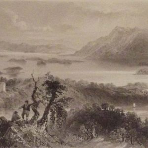
Lough Gill and Abbey of Sligo Pair Antique Prints
€49.95 Add to cart -
Ballyhara Castle & Ballymote Church Sligo 1797
€49.95 Add to cart -
1884 Antique Colour Map of The County of Sligo
€39.00 Add to cart