")
")
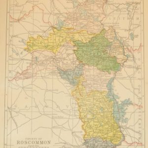
1881 Antique Colour Map of The County of Roscommon
€39.00
1881 Antique Colour Map of The County of Roscommon printed by George Philips, with the map constructed by John Bartholomew and edited by P. W. Joyce.
- You cannot add "1854 steel engraving John Russell, 4th Duke of Bedford" to the basket because the product is out of stock.
1 in stock
Antique colour map of the County of Roscommon, printed in 1881.
The map has been printed on paper and was released as a fold out map.
It was printed in 1881 by George Philips in London with the map constructed by John Bartholomew and edited by P. W. Joyce.
Condition wise the map is in very good condition for it’s age, it is a fold out map so fold lines are present, paper will show ageing, please see pictures.
The map is 8 by 6 inches.
Additional information
| Weight | 0.2 kg |
|---|
You Might Also Like
-
County Roscommon 1902 Antique Map
€35.00 Add to cart -
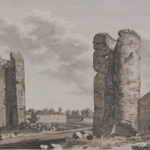
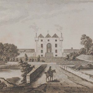
Loughlin Castle & St John’s Castle Roscommon
€49.95 Add to cart -
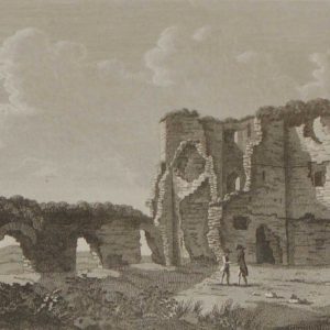
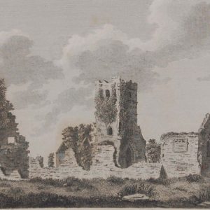
1797 Antique Print Tower of Ballintubber
€25.00 Add to cart -
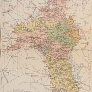
1884 Antique Colour Map of The County of Roscommon
€39.00 Add to cart -
Clonshanville Abbey Roscommon Pair Antique Prints
€39.95 Add to cart -
Church of Kilmaine Roscommon Copper Engraving 1797
€25.00 Add to cart -
Ballintuber Castle and Tower Roscommon
€49.95 Add to cart -
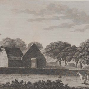
Donamon Castle Roscommon 1797 Antique Print
€20.00 Add to cart -
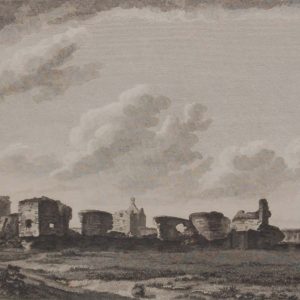
Roscommon Abbey Pair Antique Prints
€49.95 Add to cart -
Antique Architectural Prints 1797 Set of 3
€75.00 Add to cart